New Trail Map!
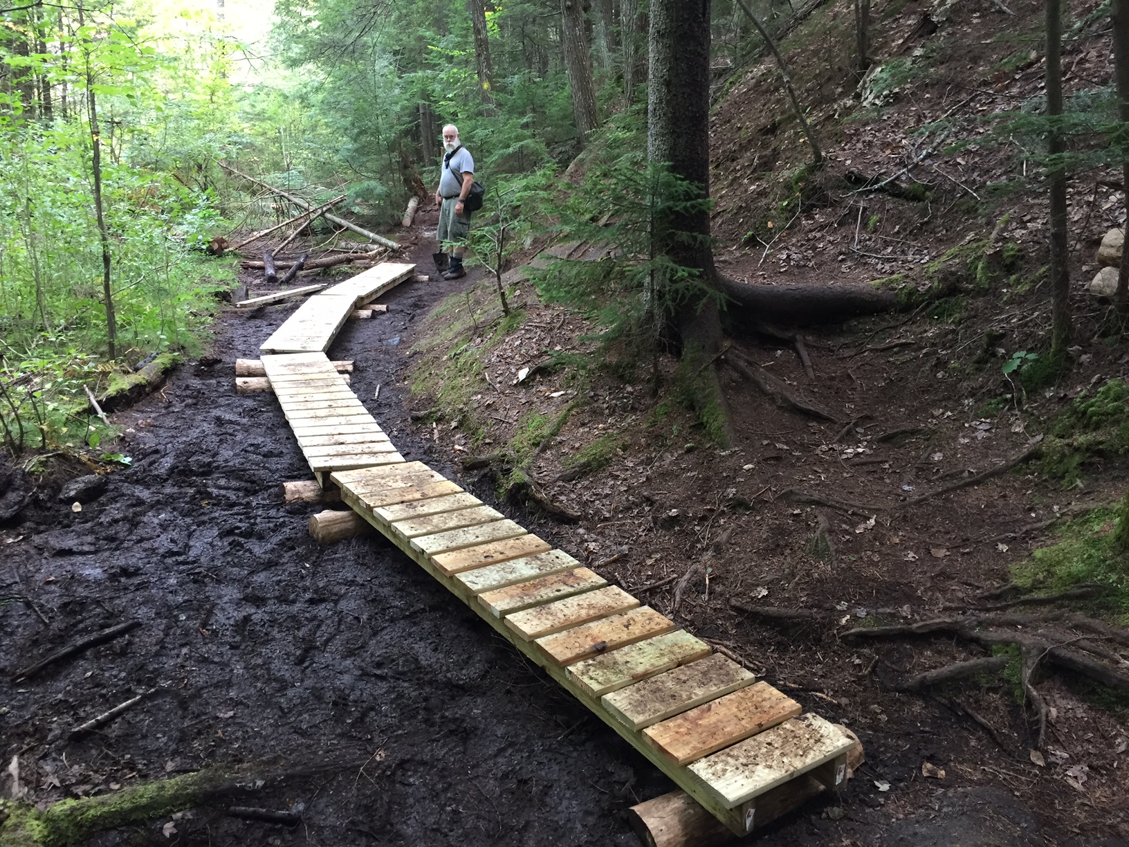
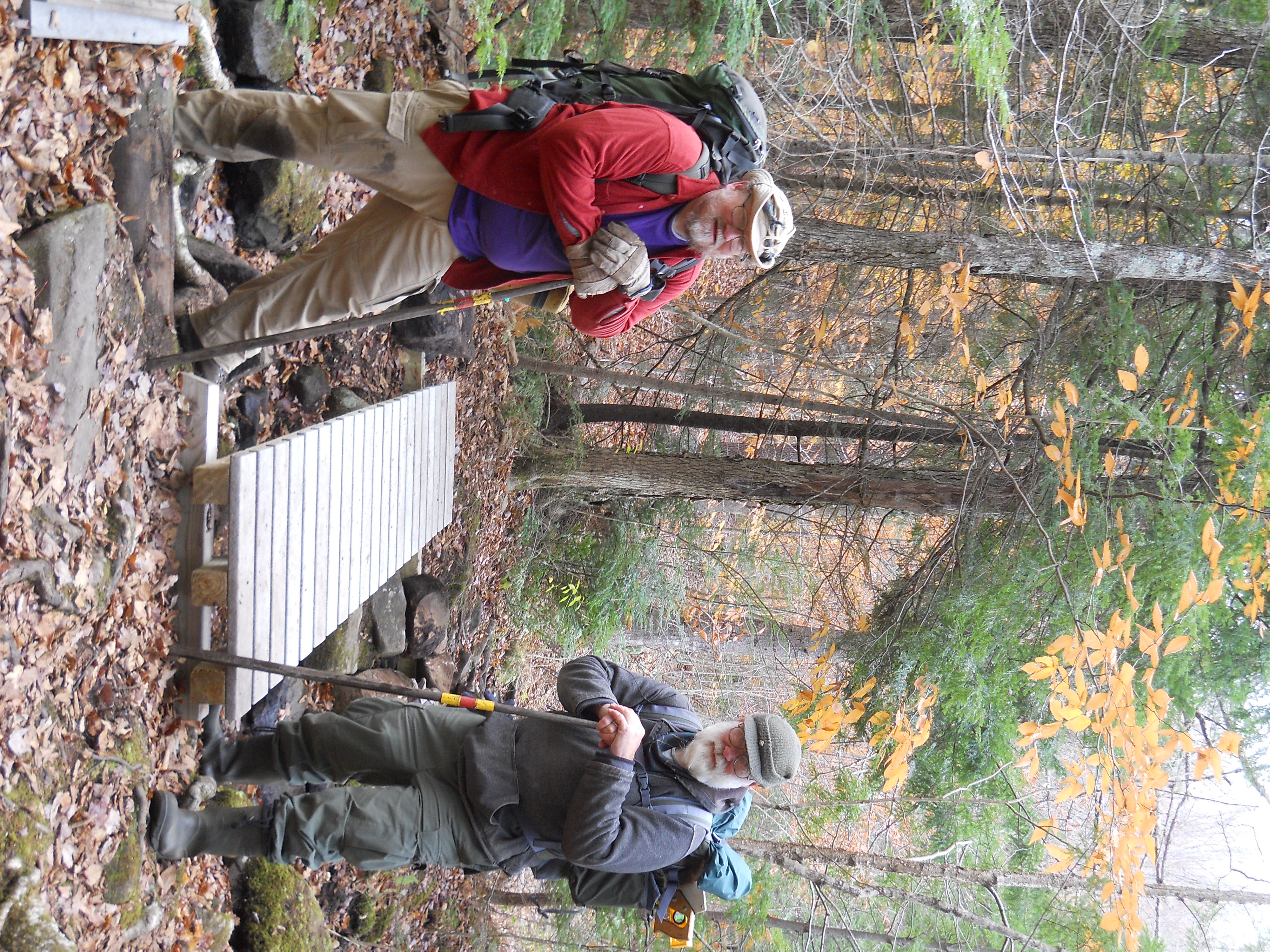
Cardigan Highlanders is proud to present our new Cole Pond Trail Map. This often overlooked hiking trail has been in need of an accurate trail map for a long time. Using the latest USGS topo map as a base, we incorporated USGS data, GPS tracks, and on-the-ground observations to get the trail as accurate as possible. We plan to use this map to help plan future trailwork, as well as provide our crews and the public with a map that will help them safely walk the trail. You can download a PDF of the new map, along with maps of our other haunts, from our RESOURCES page. While you're there, you might find a link to something else that piques your interest.


